Scan to BIM
Data information
Creation of BIM models
Compatibility and standardisation
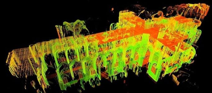
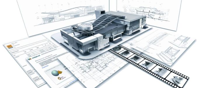
Using the “SCAN TO BIM” method offers significant advantages over traditional surveying. Speed and accuracy are the main benefits, allowing hundreds of thousands of points to be obtained and processed with ease. Point clouds are information-rich, lightweight and legally compliant. Through reverse engineering, a single BIM model is obtained, facilitating workflow management and reducing project execution time. Despite the upfront costs for 3D surveying and modelling, we save money because of the speed of processing and no need for subsequent additions.
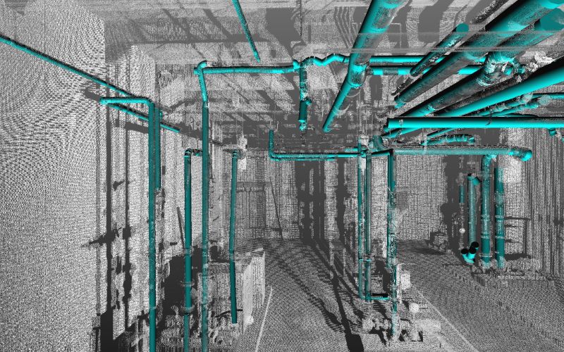
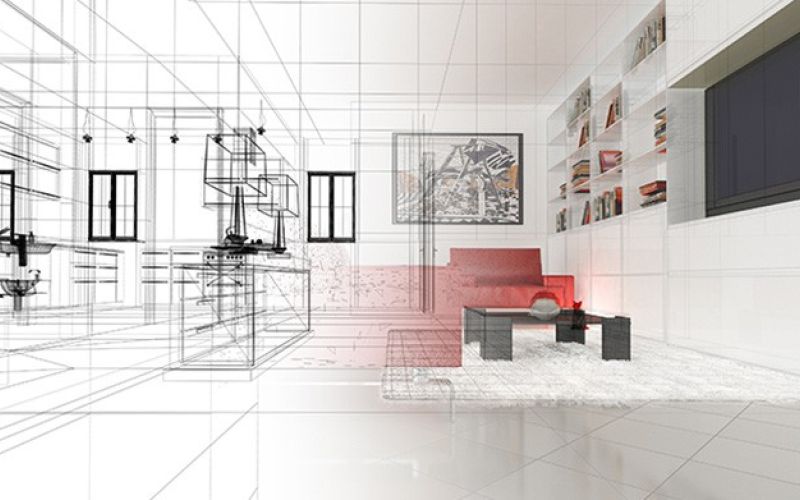
The context in which this methodology can find the most relevant feedback is certainly in the survey of artifacts for urban restoration and redevelopment. However, numerous experiences have already been carried out in other areas and contexts, such as infrastructure monitoring, where a particularly accurate survey such as this one makes it possible to consider possible maintenance work and to observe and assess the state of preservation of certain works. To know the price for a BIM model, it is necessary and appropriate to evaluate with the specialist operator the various characteristics of the artifact that will be surveyed. However, the costs for a digital survey and a switch to a BIM model are advantageous in terms of quality-price, durability and accuracy of the obtained model.
