Photogrammetry
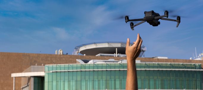
Detection of structures
Environmental monitoring
Architectural Restoration
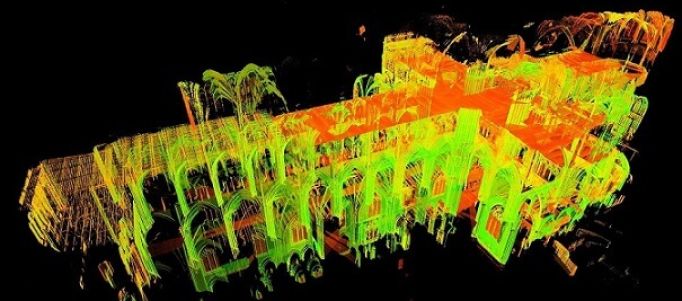
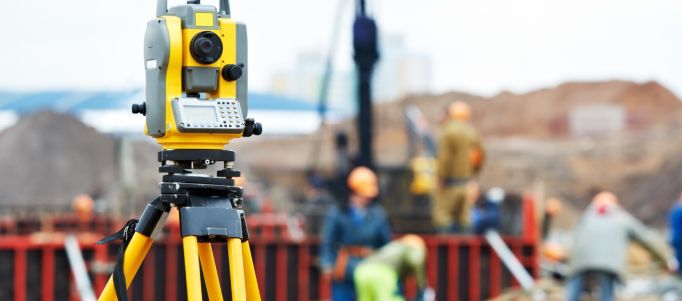
Photogrammetry is a surveying method that uses a series of photographs to create detailed and accurate three-dimensional models of structures or environments. The process begins with collecting a series of photographs from different angles and positions. Next, the image data is processed using specialised software to generate a 3D point map. This map can be used to create three-dimensional models, measure distances and angles, and analyse structures and environments in detail and accuracy.

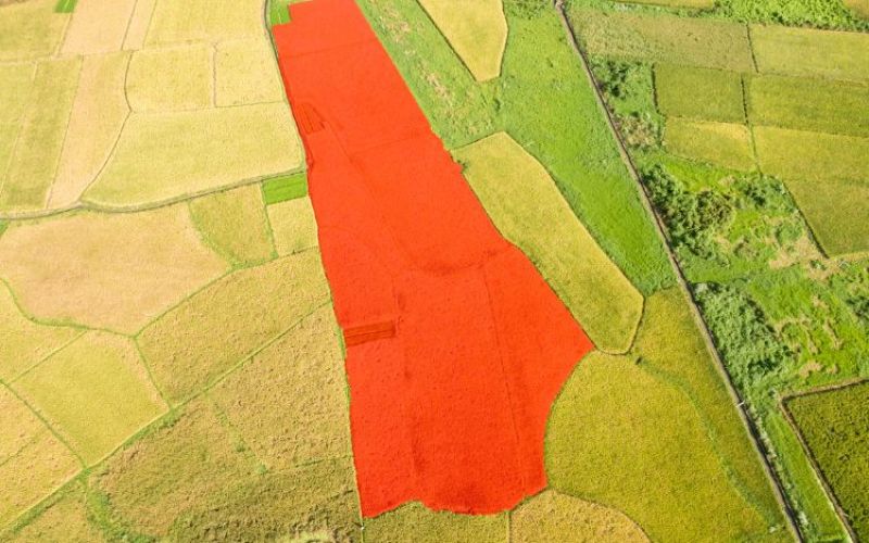
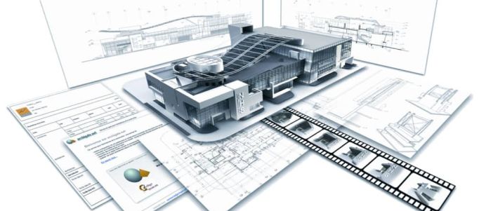
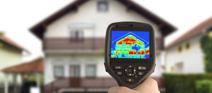
Photogrammetry has several areas of application, including geology to study land formation and structure, architecture to create 3D models of buildings and structures, engineering to assess the stability and safety of structures, agriculture to monitor the health and development of crops, the environment to monitor environmental changes and assess human impact on the land, and public safety to monitor hazardous areas and identify threats.
